History of San Bernardino California
Long before streets, rail lines, and subdivisions shaped the valley floor, the area that would become San Bernardino was a living landscape of seasonal water, oak woodland, chaparral, and river corridors. People lived here for thousands of years, building communities tied to the Santa Ana River and the creeks that spilled out of the surrounding mountains. The valley served as both a home and a crossroads. Trails through passes and along waterways connected inland deserts to the coast, supporting trade, travel, and cultural exchange.
Geography explains much of the city’s destiny. The San Bernardino Valley sits where mountain routes funnel movement, where water can be captured and guided, and where a broad, buildable plain meets dramatic terrain. That combination later made the region attractive to ranching, farming, railroads, and eventually freeways and logistics. It also made the area contested, reshaped, and repeatedly reinvented as different groups arrived with different ideas of land, property, and power.
Spanish and Mexican Roots in the Inland Empire
European influence arrived later here than in many coastal areas, but when it did, it followed a familiar pattern of missions, ranching, and control of labor and land. The inland valley was connected to the mission system through outposts and ranching operations that depended on irrigation and grazing. Place names began to fix themselves onto the landscape, including “San Bernardino,” which endured as both a geographic reference and a developing settlement identity.
During the Mexican era, large ranchos dominated much of Southern California’s economy and landholding structure. Ranching shaped daily life, and the region’s value was measured in pasture, water access, and routes that could move goods. The valley was still sparsely settled by newcomers compared with coastal towns, but its long term importance was already visible: whoever controlled the passes and the water could influence trade and movement across a wide portion of the region.
From Frontier Valley to American Settlement
After the United States took control of California, the inland valley entered a fast, disruptive phase. The early 1850s marked a turning point when an organized group of settlers affiliated with the Church of Jesus Christ of Latter day Saints established a colony in the area in 1851. They introduced a deliberate town plan, emphasized irrigation and agriculture, and built an economy that could supply a growing Southern California. Lumbering in the mountains, farming on the valley floor, and trade along key routes helped the settlement expand beyond a simple outpost.
That period also set patterns that shaped the city for generations. Water management became central. Land subdivision accelerated. Commercial corridors formed where roads met distribution needs. San Bernardino’s location made it useful to other places, and that usefulness pulled it into wider regional systems faster than a typical small town.
Incorporation, Uncertainty, and Reinvention
San Bernardino’s civic identity did not settle into place in a straight line. The city was first incorporated on April 13, 1854, during a period when Southern California communities were rapidly formalizing local government. San Bernardino County was created in 1853, and San Bernardino soon became the county seat, tying the settlement’s fate to regional administration, courts, and public services.
But early incorporation did not guarantee stability. Political pressures, economic strain, and shifting population patterns created moments of contraction as well as growth. In 1857, many of the Mormon settlers were recalled to Utah, which changed local land ownership and leadership. The community continued, but it evolved under new influences as property changed hands and new migrants arrived.
San Bernardino’s municipal status also changed over time, reflecting the reality that frontier governance could be expensive and hard to sustain. The place that would become a major inland city experienced phases of reorganization before arriving at a more durable civic structure. It incorporated again as a town on May 16, 1869, and later reincorporated as a city on November 08, 1886. These shifts were not just paperwork. They reflected debates about taxation, public works, policing, and what kind of future residents wanted, rural market town or rising regional hub.
Water, Citrus, and the Making of a Southern California City
If one force built modern San Bernardino more than any other, it was water directed by human design. Canals, ditches, and later more complex systems turned arid ground into productive farmland. That productivity fueled migration and investment. Citrus became the best known symbol of inland Southern California’s agricultural boom, and the broader valley economy benefited from orchards, packing houses, and rail shipping.
Agriculture did more than create jobs. It shaped neighborhoods, class divisions, and the region’s visual identity. The citrus era also helped create the civic pride typical of many California communities during the late nineteenth and early twentieth centuries. Schools, churches, newspapers, and fraternal organizations grew alongside farms and businesses. San Bernardino’s future as an inland anchor city began to look less like a remote settlement and more like a permanent urban place.
Railroads, Cajon Pass, and the Transportation Advantage
San Bernardino’s position near Cajon Pass made it a natural transportation node. Railroads transformed that advantage into economic power, linking the city to coastal ports, inland mining regions, and national markets. Rail yards, depots, warehouses, and worker neighborhoods grew around the rail economy. The movement of goods became part of local identity, and the city’s growth increasingly depended on its role as a connector, not just a destination.
Transportation shaped land use in lasting ways. Industrial and logistics functions clustered where lines and later highways converged. Downtown activity rose and fell with transportation patterns, and the city’s relationship to nearby communities became more interdependent. The same corridors that brought opportunity also brought vulnerability, including exposure to economic cycles and, at times, disasters tied to heavy industry and freight movement.
The Route 66 Era and the Promise of the Open Road
San Bernardino became part of the mythology of the American road in the twentieth century. U.S. Route 66 was established on November 11, 1926, and Southern California quickly became one of the route’s most iconic stretches. In and around San Bernardino, Route 66 culture blended with local life: motor courts, diners, service stations, and neon signage served travelers while also becoming gathering places for residents.
Route 66 helped cement the region’s image as a place of motion and possibility. It also foreshadowed the freeway age, when the inland valley would be increasingly defined by commuting, freight, and suburban growth. The road brought customers and visibility, but it also tied local fortunes to broader shifts in how Americans traveled. When interstate highways later diverted traffic, some older commercial strips struggled, while new corridors surged.
War, Industry, and the Rise of Norton
World War II reshaped Southern California, and San Bernardino was no exception. Military and defense related activity expanded across the region, drawing workers and investment inland. Norton Air Force Base became one of the most significant institutions in the city’s modern history. Its presence supported jobs, housing demand, and an economic ecosystem tied to federal spending.
When Norton closed in 1994, the change was massive, both psychologically and economically. The site’s transition into what is now San Bernardino International Airport represented a new chapter, one that aligned with the region’s logistics future. Converting military infrastructure into civilian transportation assets reflected a broader inland trend: reuse, adaptation, and reinvention in response to changing economic realities.
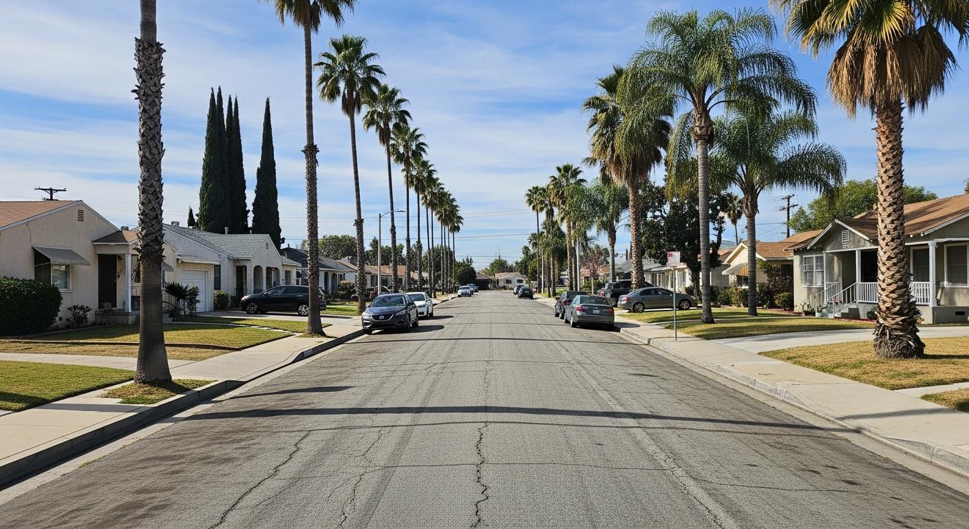
Postwar Suburbs, Community Growth, and Cultural Footprints
After the war, San Bernardino experienced the suburban growth that transformed much of California. Housing expanded outward, shopping centers multiplied, and car culture reshaped daily life. Schools grew, civic institutions modernized, and the city became more diverse as new residents arrived from across the country and across borders.
San Bernardino also left an outsized cultural footprint for a city of its size. In 1940, Richard and Maurice McDonald started the restaurant that would become the foundation of McDonald’s, an event that connected the city to one of the most influential business stories of the twentieth century. San Bernardino’s place in the fast food origin story became part of its modern identity, alongside its roles in transportation, government, and regional services.
Challenges, Shocks, and Civic Resilience
Like many cities with complex economies and rapid growth, San Bernardino faced periods of strain. Industrial accidents and infrastructure failures revealed the risks that come with being a freight and transportation hub. On May 12, 1989, a deadly train derailment in the area became a defining local tragedy, followed by additional destruction from a pipeline rupture on May 25, 1989. These events underscored how closely everyday life could sit beside heavy industry, and they shaped local memory, safety debates, and planning decisions.
Economic stress also emerged in the form of fiscal crises. In August 2012, San Bernardino filed for Chapter 9 bankruptcy, with reported obligations exceeding $1 billion. The bankruptcy did not erase the city’s history or its significance, but it highlighted structural challenges faced by many municipalities: pension costs, service demands, economic inequality, and the difficulty of maintaining infrastructure across a large, spread out urban footprint.
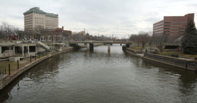
San Bernardino Today and the Long Arc of Its History
Modern San Bernardino is often described through contrasts. It is a county seat with major civic responsibilities and a city that has had to fight for financial stability. It is shaped by freight corridors and commuter routes, yet it sits close to mountains, outdoor recreation, and dramatic natural landscapes. It has deep roots in indigenous history, Spanish and Mexican eras, and American settlement, and it continues to evolve as new residents and industries reshape the region.
The city’s story is not a single narrative of boom or decline. It is a story of strategic geography, water and land, transportation and reinvention, and the complicated work of building community across generations. San Bernardino has repeatedly adapted to forces larger than itself, from railroads to freeways, from wartime expansion to base closure, from citrus prosperity to modern logistics. Its history is, in many ways, the history of inland Southern California: a place created by movement, sustained by infrastructure, and constantly redefining what it means to be a city.
Discover more from City Towner
Subscribe to get the latest posts sent to your email.